Canvas GIS Advanced 9.0.4
Free Trial Version
Publisher Description
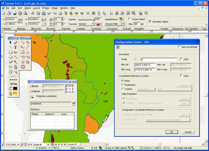
The CANVAS 9 Advanced GIS Mapping Edition adds native support for Geographic Information System (GIS) data to Canvas. You can take measurements in geographic coordinates, import industry standard SHAPE and GeoTIFF files into unlimited numbers of automatically aligned overlapping layers and choose among the following options:
2,104 Coordinate Reference Systems
67 Operation Methods (like Mercator, Albers Conic Equal Area)
1,052 Map Projections
302 Geodetic Datums
21 Angular units
45 Length units
The CANVAS 9 Advanced GIS Mapping Edition bridges the gap between dedicated GIS analysis software and generic DTP software. For many applications CANVAS 9 GIS Mapping Edition can now replace programs costing thousands. For the rest, CANVAS 9 GIS Mapping Edition is now the preferred last mile publishing companion to dedicated GIS analysis software.Files Supported include:
oMapInfo, oARC/INFO, oUSGS, Digital Line Graphs, oTIGER(Census), oMrSID (Win. only), oGML (Geography Markup Language), oSDTS (USGS Spatial Data Transfer Standard), oGIS Text oGarmin (GPS), oECW (Enhanced Compressed Wavelet Images, oS57 (IHO International Hydrographic Organization)
About Canvas GIS Advanced
Canvas GIS Advanced is a free trial software published in the Other list of programs, part of Graphic Apps.
This program is available in English. It was last updated on 19 March, 2024. Canvas GIS Advanced is compatible with the following operating systems: Windows.
The company that develops Canvas GIS Advanced is ACD Systems. The latest version released by its developer is 9.0.4. This version was rated by 7 users of our site and has an average rating of 4.6.
The download we have available for Canvas GIS Advanced has a file size of 56.62 MB. Just click the green Download button above to start the downloading process. The program is listed on our website since 2004-04-30 and was downloaded 567 times. We have already checked if the download link is safe, however for your own protection we recommend that you scan the downloaded software with your antivirus. Your antivirus may detect the Canvas GIS Advanced as malware if the download link is broken.
How to install Canvas GIS Advanced on your Windows device:
- Click on the Download button on our website. This will start the download from the website of the developer.
- Once the Canvas GIS Advanced is downloaded click on it to start the setup process (assuming you are on a desktop computer).
- When the installation is finished you should be able to see and run the program.
